Action alert: weigh in on the future of your neighborhood!
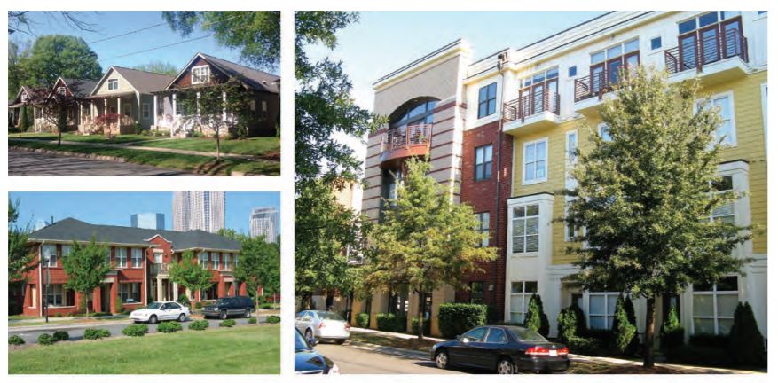
Images: Charlotte Future 2040 Comprehensive Plan Policy document
The City of Charlotte has released a first draft of The Charlotte Future 2040 Policy Map and the Charlotte Streets Map. These maps will guide development in our city for decades to come. It’s time for us to join efforts in getting the voice of the community heard, and we need your help!
We’re asking you to comment on the online draft maps by Friday, November 19th to share your feedback, ideas, and concerns with the City.
Why is it important?
The Policy Map will determine what can be built in different parts of Charlotte over the coming decades, including the parts of the city where you live, work, and play. “The Charlotte Future 2040 Policy Map provides guidance for the type and intensity of future development that’s appropriate throughout our community. This map is a translation of the Charlotte Future 2040 Comprehensive Plan’s placebased policies and will inform future zoning districts.” – Comprehensive Plan website
The Streets Map (which is part of the same online map, overlaid on the Policy Map) identifies the multimodal vision for Charlotte’s streets in the future. By defining the vision for Charlotte’s streets in the future, it will be possible to create streets with more space to support walking, biking, and public transit as development and redevelopment occur.
It’s very important that your voice is heard!
How can I participate?
- Through this Sunday, November 14th, please leave your feedback on the interactive online Policy and Streets Maps.
- Prefer to talk to a member of Charlotte’s Planning staff before you leave comments? You can meet with them during in-person “office hours” in different locations across the city.
The most important thing you can do is to zoom in on the map’s areas where you live, work, and spend time. Ask yourself: “Do the proposed land uses align with the adopted Comprehensive Plan vision for Charlotte?” and “Will these proposed land uses help my neighborhood to be connected and sustainable in the decades to come?” Then leave comments accordingly.
The different color blocks on the Policy Map represent different proposed Place Types (see definitions of each here) that would define what form of development can be built in that area. Each Place Type would allow a variety of development to occur within that definition. For example, the “N-1”, or “Neighborhood 1” Place Type allows for single-family homes, duplexes, and triplexes but also a church or school that matches the form and scale of development in the neighborhood.
Our program team at Sustain Charlotte also encourages you to pay attention to, and comment, on proposed land uses that may not fully support connected neighborhoods:
- If you see the red blocks of “Commercial” Place Type in your neighborhood, note that the definition of this Place Type is “Primarily car-oriented destinations for retail, services, hospitality, and dining, often along major streets or near interstates”. Consider whether this type of development is consistent with your expectations for how your neighborhood will grow. Is it consistent with the adopted Charlotte Future 2040 Comprehensive Plan goal of 10-minute neighborhoods? Would a Neighborhood Center or Community Activity Center (see definitions here) be more appropriate?
- If you see purple blocks of “Manufacturing & Logistics” Place Type in your neighborhood, consider if this is appropriate based on current and possible future uses of the land. While it’s important to our city’s economy to have areas that support manufacturing and logistics, they should be located in such a way that doesn’t hinder neighborhood connectivity, and should allow workers to reach them without a car (such as being located on a bus route).
- In order for Charlotte’s neighborhoods to grow sustainably and support great public transit service, more housing density and diversity of housing types should be allowed adjacent to many of our major roads. This needs to be coordinated with investments that make it easier to walk, ride a bike, or ride public transportation in these areas.
- The Streets Map shows the City’s desired future cross-sections of major roads. Note that small neighborhood streets aren’t mapped. Although some of the renderings show more lanes of travel for cars, what is most important is that the map will allow the City to set aside more space for multimodal transportation — sidewalks, bike lanes, bus lanes and stops — when opportunities arise through development and redevelopment, as well as larger capital projects. We encourage you to voice your support for multimodal streets!
For an approachable discussion about why your input is so important, we encourage you to listen to this UNCC Urban Institute podcast episode about the UDO Policy Map.
Thank you in advance for reviewing the Policy and Streets Maps and giving your input to help make Charlotte more sustainable!
Thanks for reading!
As a nonprofit, community support is essential for us to keep doing what we do — including providing free articles like this. If you found this article helpful, please consider supporting Sustain Charlotte.
Want to stay in the loop? Subscribe to our weekly newsletter and follow us on Instagram, Facebook, and Twitter.