Plan your route with these resources
Sustain Charlotte has compiled a comprehensive list of resources to help you plan your route! Learn how you can navigate Charlotte without driving by taking the bus, light rail, street car, riding your bike, or experiencing Sustain Charlotte's first-ever walking tour!
Grab your favorite walking shoes and gather with friends to explore our very own Sustain Charlotte urban walking tour! This self-guided tour consists of 9 stops + approximately 2 miles.
Simply head on over to the first stop at the Rail Trail Magic Carpet Mural to begin learning about transportation, land use, urban design, and more!
Watch as our 2024 interns take the self-guided tour to learn more about Charlotte’s landmarks and its unique urban design elements. Try it out for yourself to learn more about Charlotte without driving!
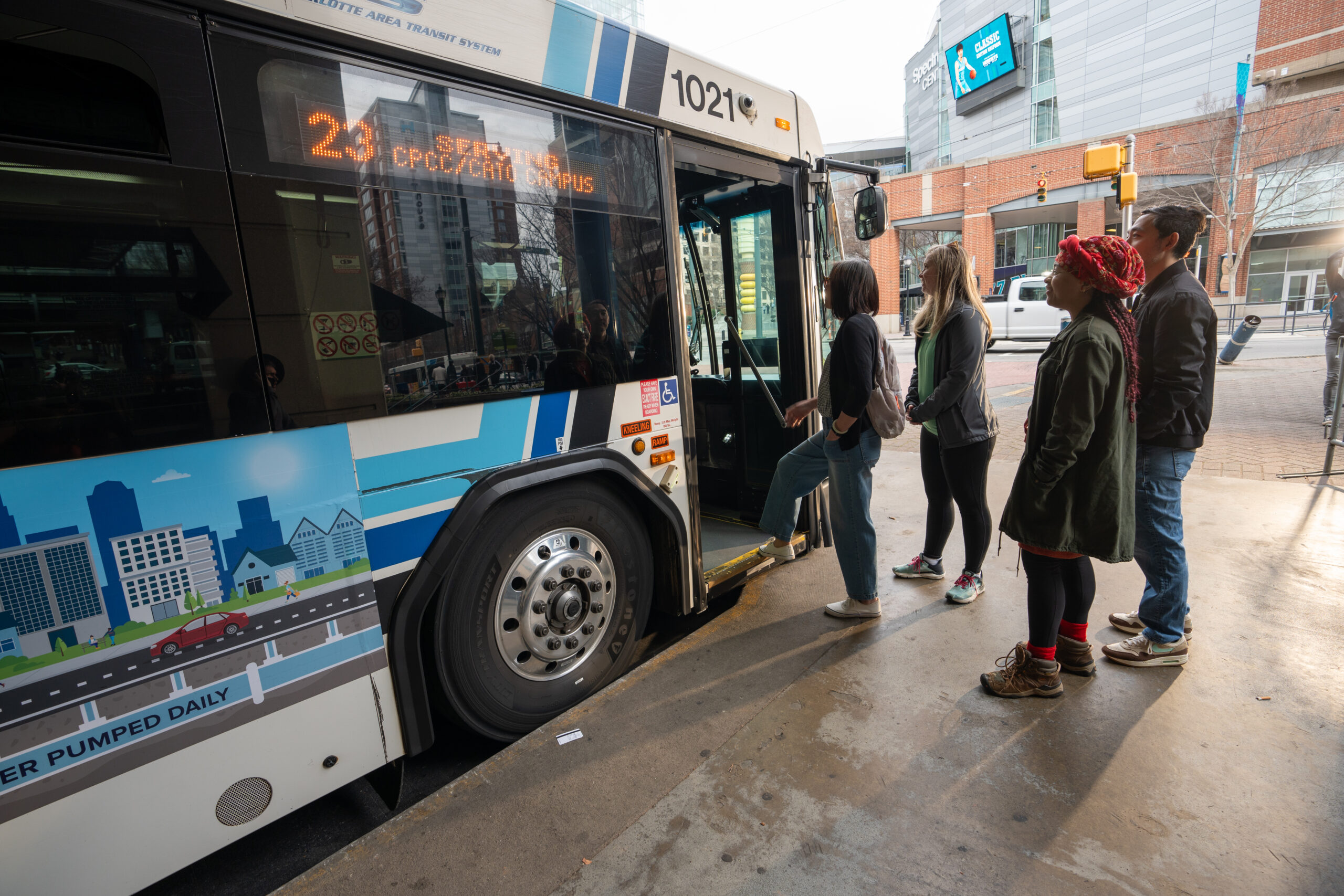
Taking the bus?

- Open this map and look at the stops closest to you. To zoom in on this map, click the "+" icon at the top of the page.
- Enter this stop into the Route Schedule to learn more about your commute options.
- Download the CATS App Guide to stay up to date!
Ride the rail!
Want to know what's it like to use public transit in Charlotte? Watch this video in which our Sustain Charlotte intern, Lyric Bailey, interviews CATS commuters and employees about their experiences using Charlotte's public transit system.
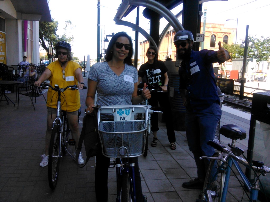
Rack + ride your bike!

Explore our 70+ miles of greenway!
Ride along with Sustain Charlotte intern, Henry Smith, as he maps the Charlotte-Mecklenburg Greenway!
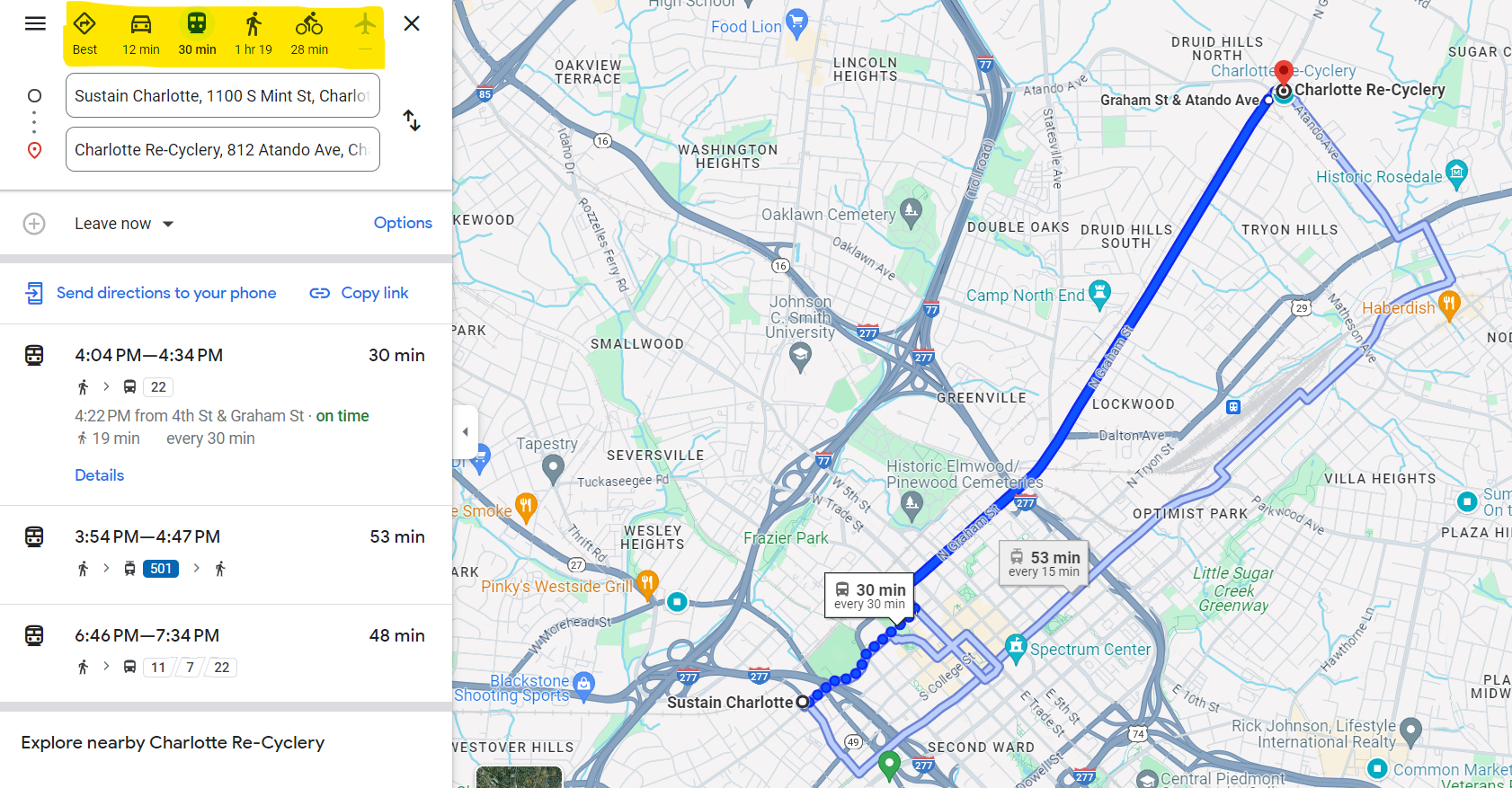
Customize your route with Google Maps

To get started, open the Google Maps App and click on the box in the top right-hand corner of the screen to select the "public transit" option. This will reveal all of the public transit options available in your location.

