Charlotte is updating its street map toolbox and you can help determine what they look like
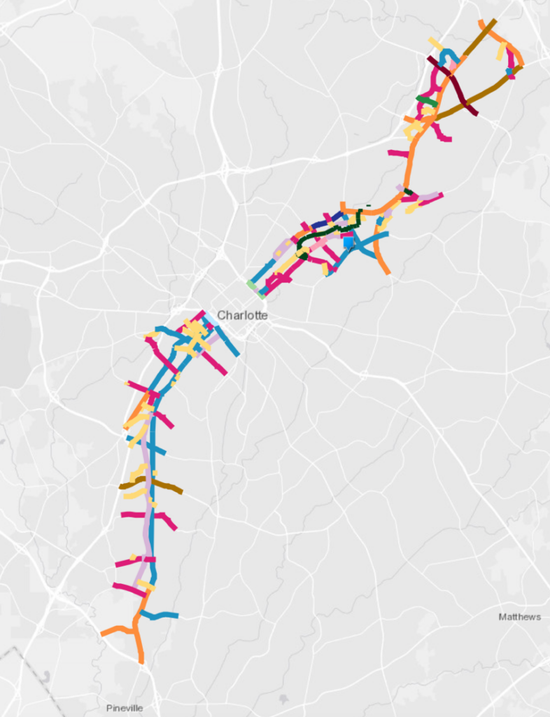
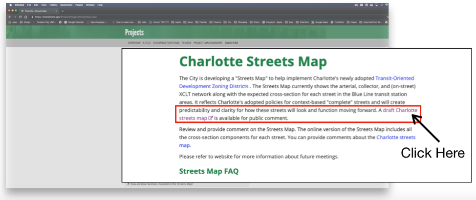
The City is working on a Streets Map that will impact how new streets are built in relation to the newly adopted Transit-Oriented Development (TOD) districts. Right now the draft will include only major streets and their possible cross-sections for the Blue Line.
Just like the new TOD zoning that was approved and adopted by City Council this year, the Streets Map is an opportunity to change and try a new approach to streets in Charlotte.
Without your support and voice change is not possible. The Streets Map will define a majority of the space between buildings. It will provide the blueprint for how you and your family will get around the city. Please click the link below and give your input.
In case you needed some inspiration or suggestions on what makes safe, bicycle-friendly streets, here are four things we are asking for!:
Ask # 1 – More Protection for Bikes at Intersections
Better protected intersections and off-street bike lanes with separated sidewalks. Vancouver, BC Canada Burrard-Cornwall intersection improvements. Photo: vancouver.ca/burrardbridgenorth City of Vancouver
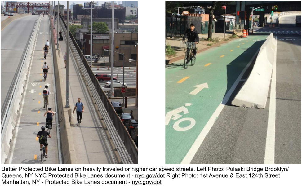
Ask # 2 – Better Protection for Bike Lanes on Busy Streets
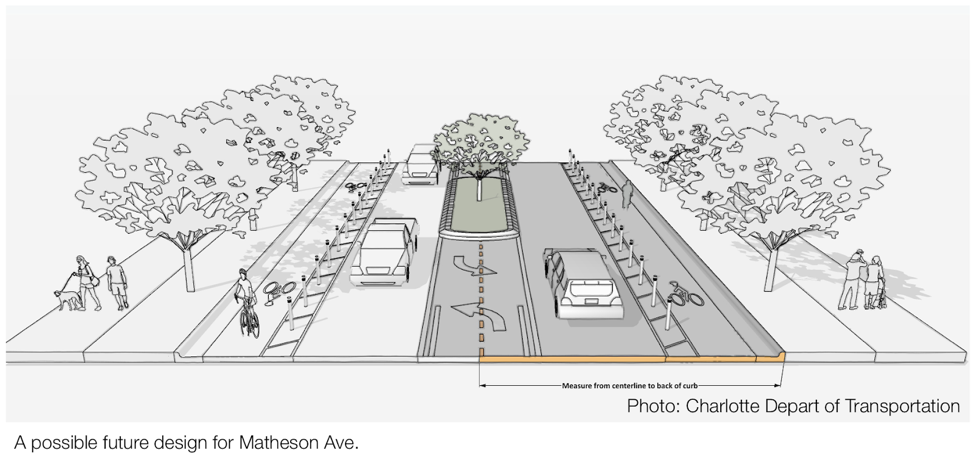
Ask # 3 – Getting Bike Lanes Out of the Street (by moving them to the other side of the curb)
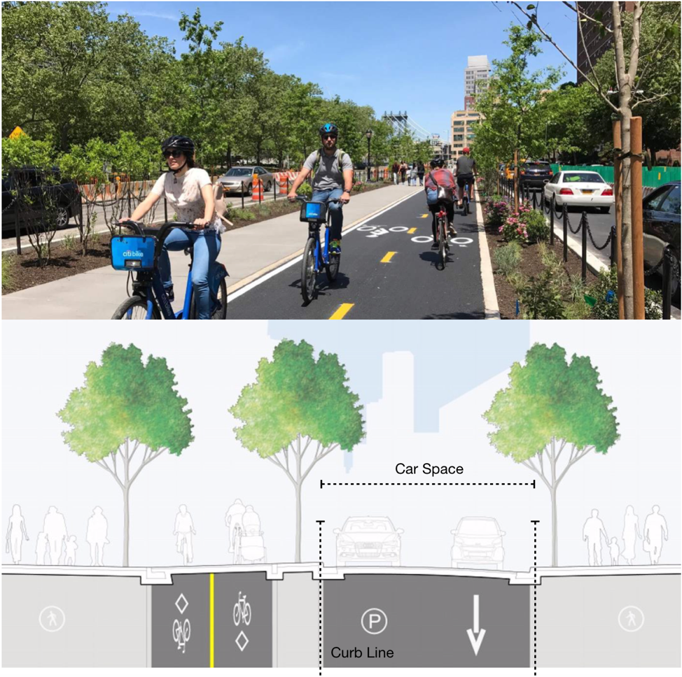
Defining the car driving space with the curb and along with it the stormwater utilities will allow for safer bike lanes in more of the city. Top Photo: Adams Street Protected Bike Lanes document – nyc.gov/dot Lower Photo: Vancouver, BC Canada Burrard-Cornwall intersection improvements. Photo: vancouver.ca/burrardbridgenorth City of Vancouver
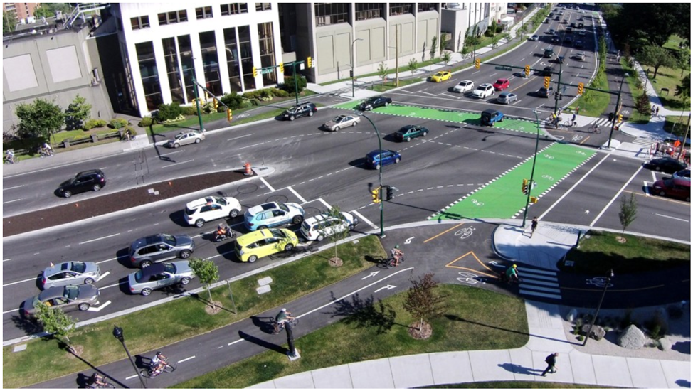
Ask # 4 – More Road Diets for Wide Streets in Our Neighborhoods
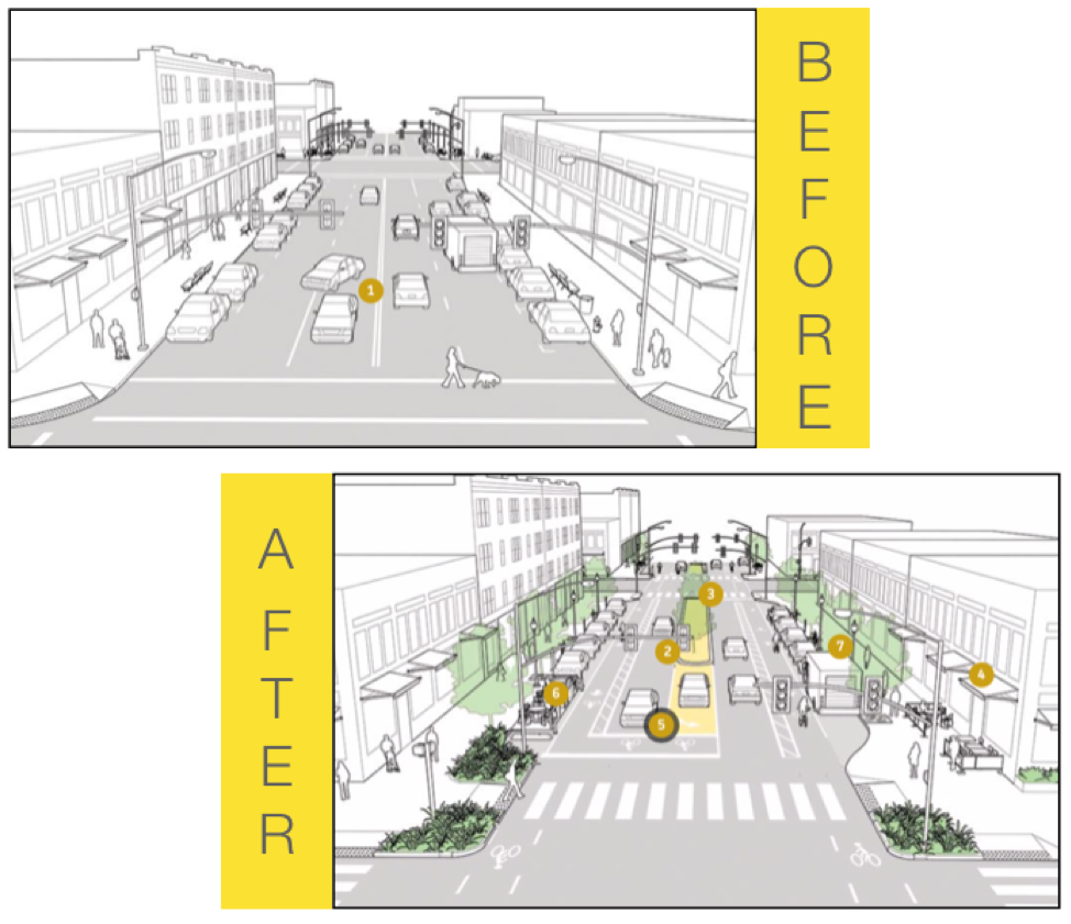
Changing the configuration of the street adds multiple modes of transportation and makes it safer for drivers, cyclist, and pedestrians. Both Photos: Urban Street Guide – Neighborhood Main Street – NACTO.ORG
The link to the draft: bit.ly/CLTStreetsMap or https://charlottenc.gov/Projects/Pages/StreetsMap.aspx
Thanks for reading!
As a nonprofit, community support is essential for us to keep doing what we do — including providing free articles like this. If you found this article helpful, please consider supporting Sustain Charlotte.
Want to stay in the loop? Subscribe to our weekly newsletter and follow us on Instagram, Facebook, and Twitter.